ISLAND OF SPICE
Grenada is the most southerly of a group of volcanic islands in the Eastern Caribbean called the Windward Islands. The Grenada state has a total land area of approximately 344 sq. km and consists of three populated islands forming an archipelago of: Grenada, Carriacou and Petite Martinique. Grenada is known as the "Island of Spice" for its production of mace and nutmeg. It's one of the world's leading exporters of these spices. The 2019 estimated population of Grenada is 108,825, which makes it the 196th most populous country in the world.
VISIT PURE GRENADA
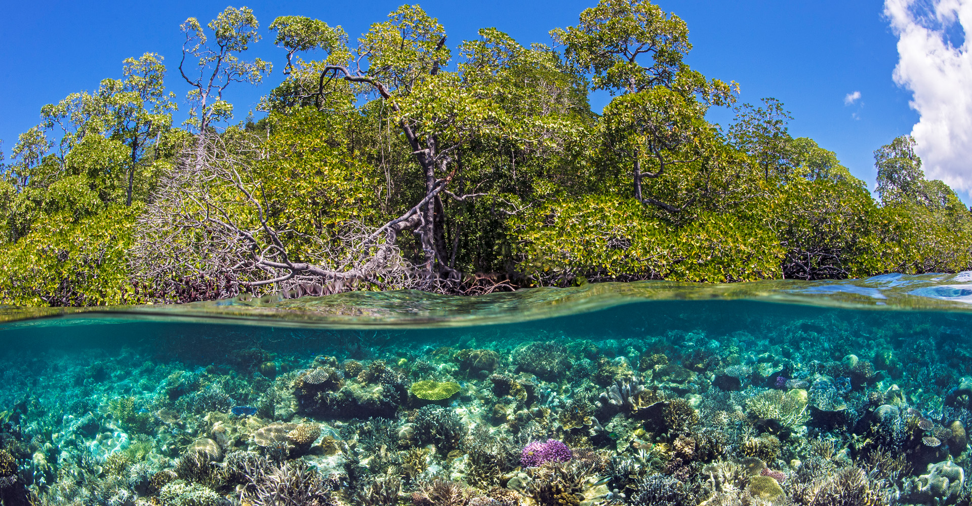
The capital and largest city of Grenada is St. George's, which is surrounded by an old volcano crater. St. George's has a population of 34,000 and it's one of the most popular tourist destinations in the Caribbean. The topography divides the island’s landscapes into a set of micro watersheds, each having the bigger or smaller impact in run-off on the near shore coastal zone and island shelf. The island is therefore drained from ‘ridge to reef’ since the pattern of drainage is one in which impacts would travel from upper landscapes through lower landscapes and into coastal seascapes. The only noteworthy cases of inland landscape drainage are three small volcanic lakes, the main one being the Grand Etang at an altitude of 600 m.a.s.l

The Grenada mainland (approximately 90.2% of the Grenada Territory) is mountainous with moderately wet landscape and with average annual rainfall of about 1500mm. The volcanic nature of the island, with its steep hillsides, creates numerous small watersheds that are drained by a number of year-round rivers and several ravine-type outfalls. Historically, forest coverage was in excess of 75% up to about 50 years ago and these forests occupied the middle and upper altitude while agriculture and housing occupied the middle to low-lying landscapes. Although Grenada’s Agriculture was in large part based on tree crops, now in distinct decline, it is estimated that about 50% of Grenada’s landscape is still covered in Forest.
Historical data also shows that CO2 emissions for Grenada are estimated at about 245,000 metric tonnes or 2.4 tonnes per capital. The threats to biodiversity and ecosystem services in both terrestrial landscapes and marine seascapes in Grenada are characteristic of small volcanic islands with steep hillsides and Marine Island shelves adjacent to the deep of the ocean. Threats include: loss of indigenous forms, degradation of ecosystems, fragmentation of habitats, overexploitation of terrestrial wildlife, over-exploitation of marine stocks and habitat, forest fires, and multiple climate change impacts, including variation in seasonal marine and land-based water quality.
